The arid and semi-arid regions of the UAE face persistent challenges from soil degradation, particularly salinization. High levels of salt in the soil severely limit agricultural productivity and accelerate desertification. At the Fujairah Research Centre (FRC), advanced scientific methods, including Soil Salinity Mapping via Geographic Information Systems (GIS) and remote sensing, are being employed to understand, monitor, and mitigate this critical environmental issue.
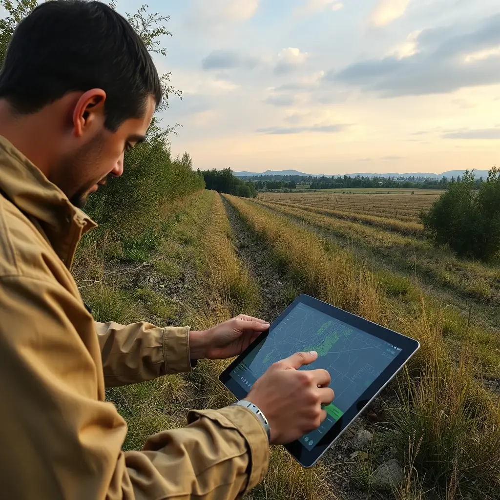
The Problem of Soil Salinization
Soil salinization occurs when salt accumulates in the soil to levels toxic to plants. This is often exacerbated in dry climates by high evaporation rates, poor irrigation practices, and the presence of saline groundwater. The impact is widespread, affecting everything from crop yields and biodiversity to long-term land stability. Effective management requires precise, localized data on salt distribution.
Integrating Field and Remote Sensing Data
FRC’s approach to soil salinity mapping combines the accuracy of direct field measurements with the extensive coverage of remote sensing, unified by powerful GIS tools:
Precision Field Sampling and Electromagnetics
The process begins with meticulous field sampling. Soil samples are collected from targeted areas based on preliminary surveys and historical data. These samples are then analyzed in the laboratory to determine their electrical conductivity (EC), which is a direct measure of salt concentration.
Complementing this, electromagnetic induction (EMI) sensors are deployed directly in the field. These sensors can measure the bulk electrical conductivity of the soil in situ and quickly cover large areas. Unlike traditional sampling, EMI provides rapid, non-invasive data on both surface and subsurface salinity, which is crucial for creating accurate spatial models.
2. Satellite Remote Sensing and Spectral Indices
To achieve broader, more frequent coverage, FRC integrates satellite remote sensing data. Saline soils often exhibit distinct spectral signatures—how they reflect different wavelengths of light—due to the presence of salt crusts, changes in soil moisture, and sparse vegetation.
Researchers use specific spectral indices derived from satellite imagery to detect and quantify salinity levels indirectly. For example, indices that highlight variations in the visible (blue/green) and near-infrared (NIR) bands can effectively map salt-affected areas across vast regions, identifying patterns that might be missed by field sampling alone.
3. GIS: The Analytical Hub
Geographic Information Systems (GIS) serve as the central platform for this entire process. All field samples, EMI data, and remote sensing layers are integrated into a single GIS database. Within this environment, FRC scientists perform:
Spatial Interpolation: Using algorithms (e.g., Kriging) to estimate salinity levels in areas between sample points, creating continuous maps.
Change Detection: Comparing maps from different time periods to identify areas where salinity is increasing or decreasing.
Risk Assessment: Overlaying salinity maps with land use, topography, and hydrological data to identify regions most vulnerable to salinization.
From Data to Sustainable Land Management
The detailed soil salinity maps produced by FRC are more than just scientific outputs; they are critical tools for sustainable land management. This data directly informs decisions on:
Irrigation Optimization: Identifying areas where water management needs adjustment to prevent salt buildup.
Crop Selection: Guiding farmers on salt-tolerant crop varieties suitable for specific plots.
Land Reclamation: Prioritizing areas for remediation efforts and monitoring their effectiveness over time.
By providing this granular, data-driven understanding of soil health, FRC plays a vital role in combating desertification and ensuring the long-term agricultural and ecological viability of the UAE's precious land resources.
Frequently Asked Questions
What is soil salinization, and why is it a problem in the UAE?
Soil salinization is the buildup of salts in the soil to levels that harm plants. In the UAE, high evaporation and saline groundwater make it a critical issue, reducing agricultural land and accelerating desertification.
How do EMI sensors help map soil salinity?
Electromagnetic induction (EMI) sensors measure the electrical conductivity of the soil directly in the field. This quickly and non-invasively identifies salt concentrations both on the surface and beneath, providing detailed spatial data
What role does GIS play in understanding soil salinity?
GIS (Geographic Information Systems) integrates all data from field samples, EMI sensors, and satellites. It creates detailed maps that show salt distribution, track changes over time, and help identify areas at high risk for salinization.