Protecting the delicate arid ecosystems of the Emirates requires precise, frequent, and non-invasive monitoring. The Fujairah Research Centre (FRC) is leading this effort by utilizing cutting-edge UAV remote sensing and satellite technology, effectively providing "eyes in the sky" for terrestrial ecology. This scientific approach ensures that conservation strategies for vital species, such as the Ghaf and Acacia tortilis trees, are based on high-fidelity spatial data.
The Challenge of Large-Scale Monitoring
Traditional methods for monitoring flora and land health involve costly, time-consuming field surveys that often lack the comprehensive coverage needed across vast and rugged terrains. Remote sensing overcomes this by allowing FRC to assess conditions across entire regions frequently and efficiently, gathering data that is simply unattainable by ground-based teams alone.
The Core Technology: UAVs and Satellites
FRC employs a two-tiered remote sensing strategy, combining different platforms to optimize resolution and area coverage:
1. Unmanned Aerial Vehicles (UAVs / Drones)
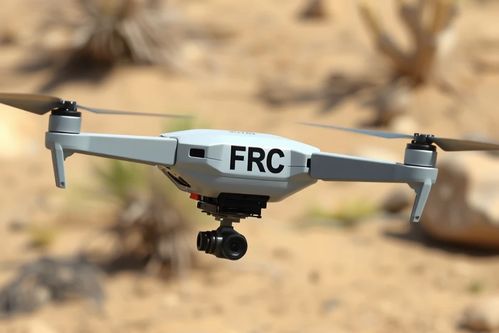
UAVs are essential for high-resolution, localized studies. Equipped with specialized sensors, FRC's drones capture imagery at the centimeter scale. The primary scientific advantage of UAVs is their ability to carry multispectral cameras, which measure light reflectance beyond the visible spectrum (into the near-infrared). This data allows scientists to calculate vegetation indices, such as the Normalized Difference Vegetation Index (NDVI), which accurately measures vegetation health, density, and stress levels for specific plots of native flora.
2. Satellite Remote Sensing
For mapping and monitoring vast, regional areas, FRC relies on satellite remote sensing. Satellite data provides broader, frequent coverage necessary for tracking long-term land use changes and the general distribution of key species. Satellites are used to confirm species presence, map habitat boundaries, and track deforestation or desertification trends across Fujairah.
Applications in Terrestrial Ecology
The data collected through UAV remote sensing is transformed into actionable intelligence through Geographic Information Systems (GIS):
Biodiversity Mapping: High-resolution imagery allows FRC to precisely map the location and canopy size of individual Ghaf and Acacia trees, crucial for establishing baseline data for conservation programs.
Health Assessment: NDVI and other spectral indices enable researchers to detect stress in vegetation (e.g., from drought or disease) often before it becomes visible to the human eye, facilitating early intervention.
Land Use Analysis: The technology supports sustainable land management by providing accurate, up-to-date maps for urban planning and natural reserve expansion.
By investing in this advanced spatial science, FRC establishes itself as a leader in applying non-invasive technological solutions to complex ecological challenges, ensuring a sustainable future for the Emirates' terrestrial heritage.
Frequently Asked Questions (FAQ)
What is the primary advantage of using UAV remote sensing over ground surveys for ecology?
The primary advantage is the ability to obtain high-resolution spatial data (centimeter scale) and frequently cover large, often inaccessible, areas, which allows for better monitoring of vegetation health and change over time.
What is the scientific purpose of using multispectral cameras on FRC's UAVs?
Multispectral cameras are used to measure light reflectance outside the visible spectrum, which allows FRC to calculate vegetation indices like the NDVI, providing quantitative data on vegetation density and health/stress levels.
How does FRC use satellite remote sensing data for conservation?
Satellite data provides broad, frequent coverage used to map habitat boundaries, track long-term changes in land cover, and monitor the general distribution of vital species like the Ghaf and Acacia trees.